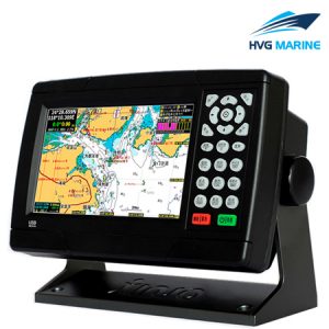


HVG MARINE ELECTRIC EQUIPMENT 0044: 15-Inch Multi-Functional Marine GPS Navigator
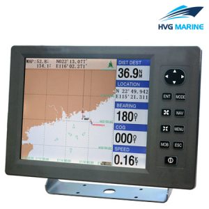
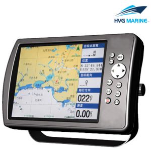
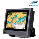
15-Inch Multi-Functional Marine GPS Navigator possesses the function of GPS navigator and marine chartplotter. The resolution of display is up to 1024×768, which shows images clearer. It equips large-capacity flush memory which stores more data. The base map is WGS-84, and the chart data includes marks, reefs, shipwrecks, dangerous waters, isobath,etc. these rich data improves safety of voyage. If you want to learn more about this product,please feel free to contact us.
Features
- To possess the function of GPS navigator and marine chartplotter
- 15’’ high resolution display
- Fast display of chart
- Regular upgrade of maps
- With AIS equipment connection port
Parts list
- 15’’ Marine GPS Navigator
- GPS antenna
- 6 core data line
- Power line
- Installation fixed screw